|
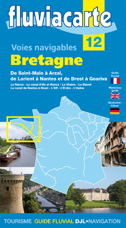
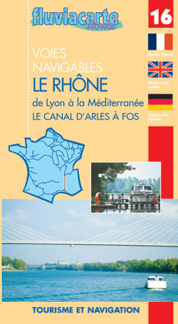
The Brittany Canals At first glance the Brittany canals look like a good way of cutting the corner of the more challenging waters around Ushant. There are two major problems with this canal route. The max draft is 1.2 metres for much of it and the width of many of the locks is narrow, apart from the huge sea locks. The trip through the sea lock at St Malo up to Dinan, without taking down the mast, is a good experience, with a pleasant little commercial quay at the end of it and a very steep climb up to the lovely town. It is essential to carry the tide for this passage and from Dinan onwards to the sea there are some depth issues which can be a problem even for centreboard lifting boats. In high summer this canal does, sometimes, almost dry! The route is this:- St Malo – Rance Maritime Châtelier lock – Dinan.(1 lock) Air height 19mtrs Max Draft 1.6mtrs The trip to Dinan with the mast up is possible for most boats with a draft of less than 1.6m on the tide with lots of forgiving mud! Dinan - Rennes (47 locks) Air height 2.5 metres Max Draft 1.2 metres Rennes - Redon (13 locks) Air height 3.2 metres Max Draft 1.2 metres Redon – Sea (1 lock) Air height 27 metres Max Draft 1.3 metres For the benefit of catamarans thinking of this route the width of the locks is 4.5 metres and you need to allow room for fenders and planks… I have never met anyone who has been further than Dinan and all the information above is culled form various publications and I recommend you buy the relevant Fluviacarte which is No 12 Bretane – de St. Malo à, Arzal, de Lorient à Nantes.
|

|
If you are thinking about using the French canals to passage between the UK and the Mediterranean then this booklet contains all the information you need' It describes the Routes, the regulations the paperwork - How where and when to get the qualifications and license, the depths, air heights, locks and a whole lot more. There are 'charts/maps' throughout, the distances, dimensions & main stopping places and is the only publication to list ALL the possible stopping places on the Rhone River!/ Over 2700 copies sold.... This book has become the standard work for transiting the French canals to the Mediterranean and back Download now |

|
French Canal Routes to the Mediterranean Gentle Sailing Route to the Mediterranean Gentle Mediterranean Routes to the Islands Caribbean Islands Cruising Guides |
For my sailing books and French canal guides please go to
|
|
|